![Grey Crag [Sleddale Fell]](https://cdn.walkmates.com/hill-photos/hill-placeholder.jpg)
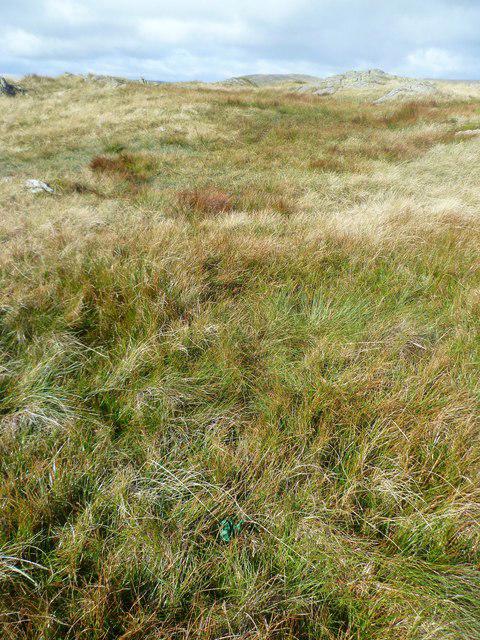
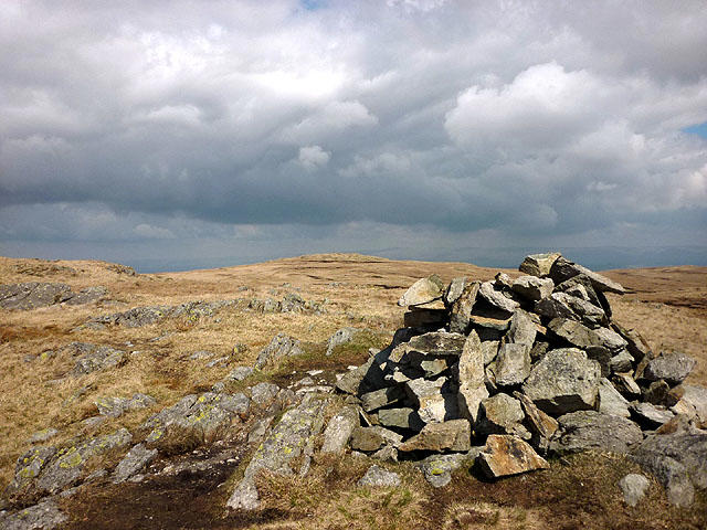
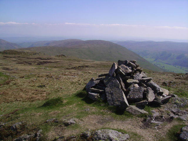
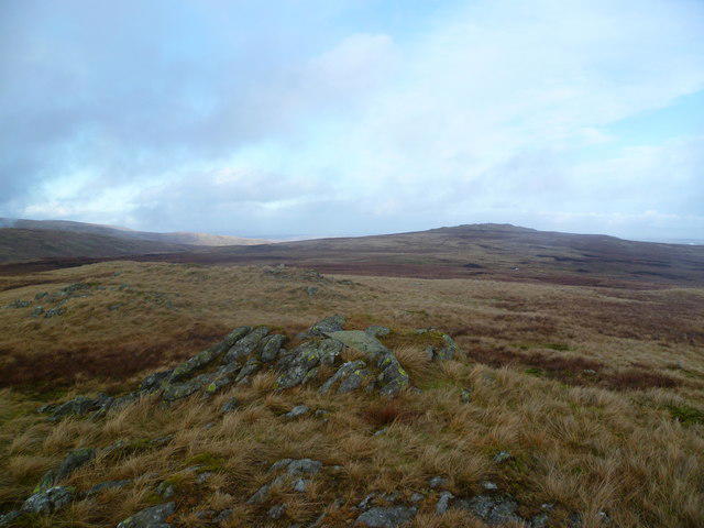
![NY4907 : Grey Crag [Sleddale Fell] Cairn](https://cdn.walkmates.com/gallery-images/f6c5d3e7644d4fdeb6aa279bd64933b0.jpg)
Upland / Hill
Circular
Hard
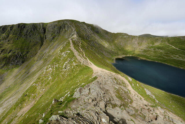
Striding Edge, Helvellyn and Catstye Cam
PaulWalkmates
Walk organiser
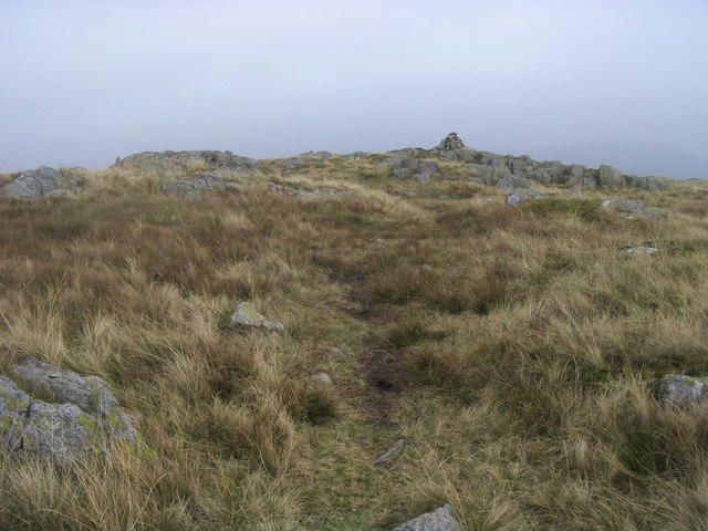
![Grey Crag [Sleddale Fell] location map](https://cdn.walkmates.com/hill-maps/grey-crag-[sleddale-fell].png)
No comments yet. Be the first.